What does ZIP in ZIP code stand for?
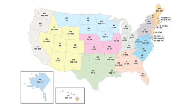
The Zone Improvement Plan code, abbreviated as the ZIP code, is a system of postal codes that was introduced in the USA in 1963 to improve the efficiency of postal services, such as sorting and delivery. It comprises nine digits: the first three digits are assigned to a specific part of the USA, the next two digits refer to the specific post office or zone, the next two digits refer to a particular area or street or a cluster of buildings, and the last two digits refer to a block or a single floor or a group of post office boxes, e.g. PO Box 58001, Washington DC 20037-8001.